I just got back from four days of fly fishing with some guy pals in the Idaho backcountry, without cellular, Wi-Fi, or Internet. We stayed at a lovely little place called Sulphur Creek Ranch (sulphurcreekranch.com), which is only accessible by trail or bush plane. The ranch is located in the Southwest corner of the Frank Church River of No Return Wilderness, the largest contiguous wilderness area in the lower 48 states. It’s beautiful, and completely off the grid. Power at the ranch is supplied by diverting a stream, which turns a Pelton wheel, connected to a generator, so there are lights and refrigeration. While rustic, it’s still “glamping.”
While I’d love to regale my readers with tales of my fishing prowess, this is nominally a column about technology, not catch-and-release. In that regard, the highlight of the trip was flying in bush planes (both a Cessna 180 and a Cessna 206). Flight in the backcountry is all VFR (visual flight rules), which means you navigate by sight. Thanks to the Global Positioning System (GPS) pilots now can see very accurately where they are on a map. In my case, the Cessnas I flew in had a tablet (made by Garmin) displaying the plane’s current position on a map mounted on the pilot’s control yoke.
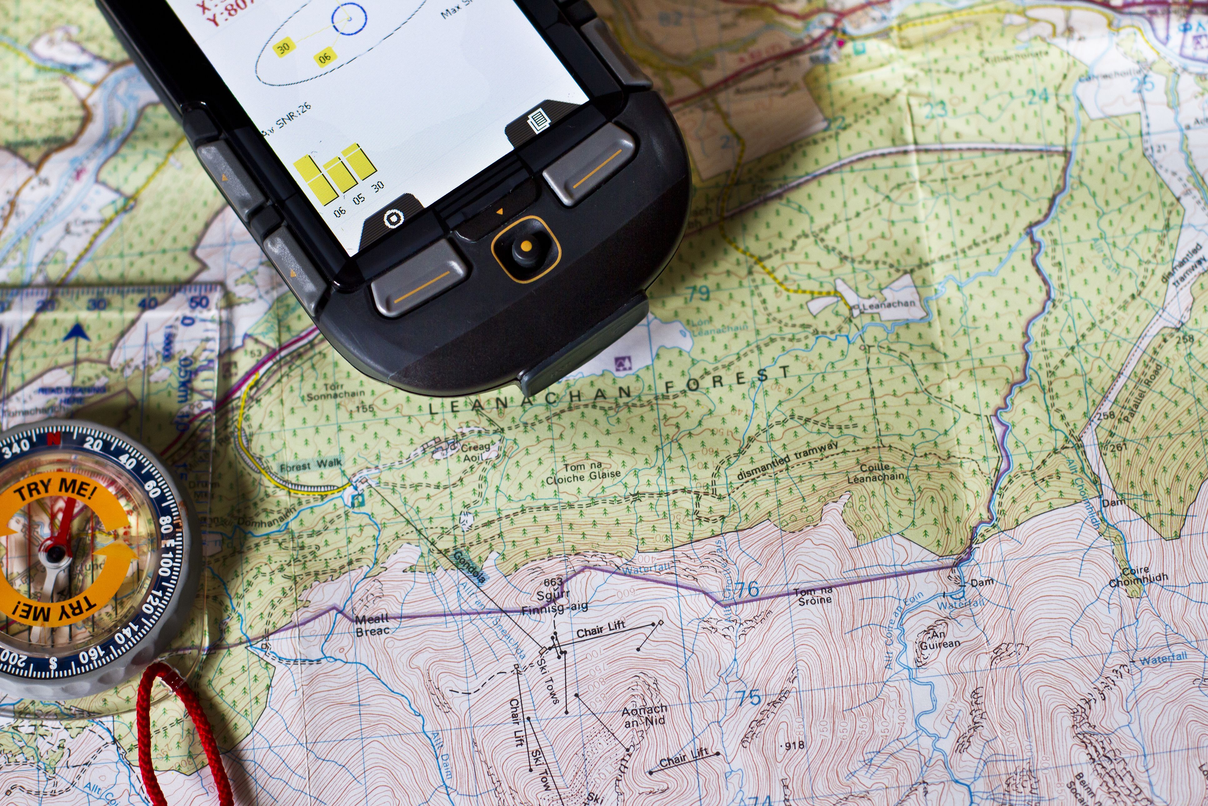
As you may know, GPS is a system of about 32 satellites, which orbit the earth. (Amusingly, it’s run by the U.S. Space Force.) Each satellite broadcasts signals which a receiver (like your smartphone or the tablet in a bush plane) can use to determine their latitude, longitude and altitude. The receiver must be able to “see” four of the GPS satellites at the same time to calculate its position in three dimensions – the satellites are positioned such that this should always be possible from any point on earth. Based on the time it takes for signals sent at the same time from different satellites to arrive at the receiver, location can be determined as accurately as one foot, although most consumer devices are only accurate to about 16 feet.
On your smartphone, you can choose whether or not to share your location (as determined by your phone’s GPS receiver) with others. In a plane, GPS information can be shared with other planes to avoid collisions (according to Air Avionics, a manufacturer of so-called traffic control systems, there are roughly 40 mid-air collisions each year, half of which are fatal). It’s surprising to hear the plane tell you that there are other planes (“traffic”) nearby, but it’s a huge boon to pilots flying VFR, since spotting another plane in the air isn’t always easy.
It’s important to understand that GPS is a passive system. Receivers listen for timing information from satellites. This is important because receiving a signal doesn’t require much power, whereas transmitting a signal does. Any sharing of location information takes place by other means (e.g. a plane broadcasting the information to other planes, or a smartphone sending its position over the internet). GPS satellites aren’t tracking you!
I encourage you to look at the Wikipedia article for “Global Positioning System,” especially the section about civilian applications of the technology. Could your product or service be enhanced if it had accurate location information? If you’d like to take the next step and experiment with using GPS, I recommend Sparkfun Electronics (sparkfun.com/gps) as a source of both hardware and tutorials.
Have you heard of the Tile or Apple’s AirTags? These small devices allow you to locate whatever they are attached to such as your keys or a wallet. You might think these devices use GPS. And you’re right, they do, but not in the way you might think. Rather than using GPS directly, these devices use Bluetooth to ping nearby smartphones. In turn, the smartphone attaches its location (from its GPS receiver) and sends it along to a central database of device locations (Apple calls this the Find Me network, which certainly sounds more helpful/friendly.) This lowers the power requirements of the device, so its batteries will last up to a year.
Just as GPS helps planes avoid each other in the air, GPS is also used by map applications (like Google Maps) to avoid traffic congestion. All the people using Google Maps (assuming they’ve allowed location sharing) send their position to Google, which can then detect areas of high traffic density and warn people of congestion and/or route them around it.
Once upon a time, I was a student pilot, and I recalled that you should always be thinking about where you would put down in an emergency. Looking at the tree-lined peaks we flew over, I asked my bush pilot what happens if the engine stops over rough country because most bush planes have big single engines.
His reply? “At that point, the plane belongs to the insurance company. I’ll be focused on survivability.”
At least we’ll know where we are.